
Current real estate market data, news and analysis for the Charleston-North Charleston, SC metropolitan area — 889,263 residents across Berkeley, Charleston and Dorchester counties.
Data as of May 2026. Sources: Redfin Data Center, U.S. Census Bureau.
Latest Charleston Real Estate News
Charleston Real Estate Market Overview
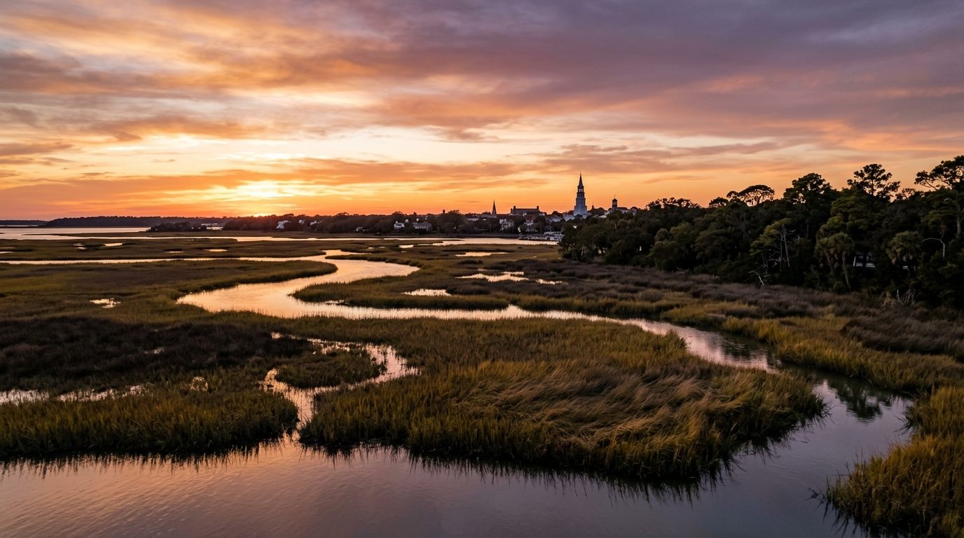
Charleston’s metro sits in the South Carolina Lowcountry, a flat coastal landscape of tidal marsh, salt creeks, and barrier islands where the Ashley and Cooper rivers converge at Charleston Harbor. The historic peninsula holds the oldest housing stock in the region — dense, walkable, single-house and rowhouse forms dating back centuries — while barrier islands like Sullivan’s Island, Isle of Palms, Kiawah, and Seabrook carry lower-density beach cottages and gated golf communities. West Ashley and James Island bridge the peninsula and the outer suburbs with mid-century and modern development, while inland Berkeley and Dorchester counties, around Summerville, have seen extensive new large-scale master-planned subdivisions built on what was recently farmland.
The historic peninsula, especially south of Broad Street, sits at the top of the market, its value driven by architectural scarcity and strict preservation limits on new construction as much as by location. Sullivan’s Island, Kiawah Island, and Daniel Island occupy similarly rarefied territory, prized for low density, private amenities, and gated or semi-gated exclusivity. Mount Pleasant sits a notch below as the metro’s strong family-oriented tier, valued for schools and proximity to both downtown and the beaches. North Charleston, with deeper industrial and military roots and more rental housing stock, anchors the more affordable end of the market, though pockets like Park Circle are actively gentrifying. Summerville and the newer subdivisions of outer Berkeley County are more affordable still, trading proximity to the peninsula and beaches for newer construction and lower land costs.
Manufacturing, the military, logistics, and healthcare anchor the local economy. Boeing operates a large final-assembly campus for its 787 Dreamliner in the region, and Joint Base Charleston supports a large combined military and civilian workforce. The South Carolina Ports Authority runs one of the East Coast’s significant deep-water ports here, underpinning substantial logistics and trade activity. The Medical University of South Carolina is the region’s largest single employer and a major academic medical center. Automotive manufacturing has planted a real flag in Berkeley County as well, with a large vehicle-assembly plant in Ridgeville drawing continued investment, alongside a van-assembly operation in North Charleston. Tourism remains a substantial economic driver downtown and along the beaches.
Hurricane exposure and storm surge are constant coastal risks, and tidal "king tide" flooding increasingly affects low-lying peninsula and marsh-adjacent neighborhoods even outside officially mapped flood zones — worth checking street-level flood history, not just FEMA maps, before buying. Rising flood and wind insurance costs are a real and growing affordability factor along the coast and islands. Charleston’s historic preservation ordinance, among the first in the country, means exterior changes and demolitions on the peninsula require review before a building permit is issued, a real constraint on renovation plans there. South Carolina taxes owner-occupied primary residences at a meaningfully lower rate than second homes or rental property, a distinction worth understanding for anyone buying investment or vacation property in this heavily second-home market. Growth pressure in Berkeley and Dorchester counties continues to strain roads and infrastructure as new master-planned communities expand inland.
Cities and Towns in the Charleston Metro Area
Notable Communities and Neighborhoods
Charleston Real Estate Market FAQ
How is the Charleston-North Charleston housing market organized?
It runs from the historic peninsula and barrier islands through family-oriented Mount Pleasant, into more affordable North Charleston, and out to fast-growing master-planned subdivisions in Berkeley and Dorchester counties.
Which areas tend to be pricier and which more affordable?
The historic peninsula south of Broad Street and barrier islands like Sullivan’s Island and Kiawah sit at the top of the market, while North Charleston and outer Summerville-area subdivisions are generally more affordable.
What should buyers verify before purchasing here?
Check street-level flood history in addition to official FEMA flood maps, get a firm insurance quote before closing, and for peninsula properties, confirm what historic-district review requirements apply to any planned changes.
What regional risk factor is most important to understand?
Tidal "king tide" flooding increasingly affects low-lying peninsula and marsh-adjacent neighborhoods even outside officially mapped flood zones, making local flood history a more reliable guide than zone maps alone.
Nearby Markets