
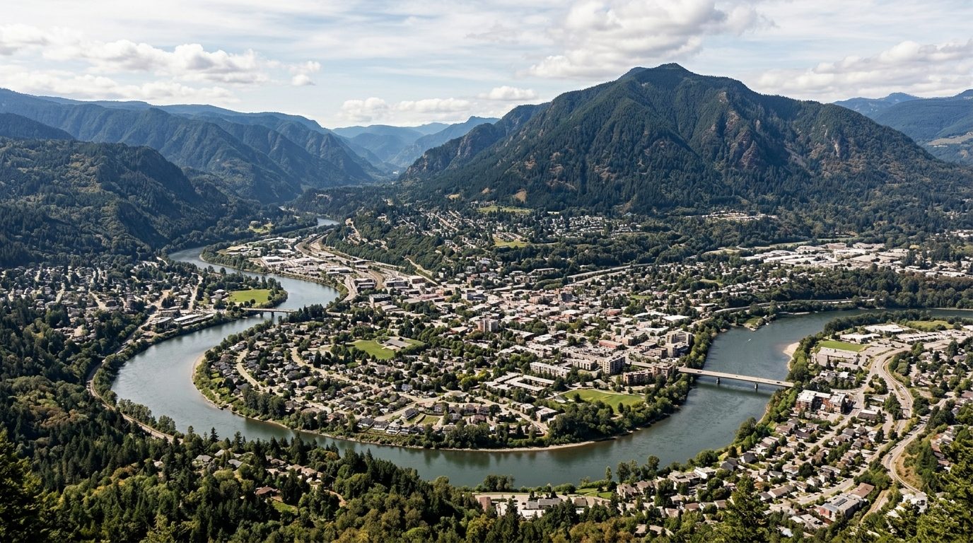
Current real estate market data, news and analysis for the Missoula, MT metropolitan area — 128,698 residents across Mineral and Missoula counties.
Data as of May 2026. Sources: Redfin Data Center, U.S. Census Bureau.
Latest Missoula Real Estate News
Coverage of this market is coming soon. Browse all housing market news.
Missoula Real Estate Market Overview
Missoula sits at the confluence of five mountain valleys in western Montana, where the Clark Fork River gathers the Bitterroot and Blackfoot rivers beneath Mount Sentinel and Mount Jumbo. The city grew up around the University of Montana, and that campus presence still shapes the housing stock: older, walkable neighborhoods near downtown and the university mix craftsman bungalows, brick foursquares, and early-20th-century cottages, many built for mill workers and rail employees, while newer subdivisions on the valley’s edges and benches feature ranch homes and contemporary construction on larger lots. Mineral County to the west, along the Clark Fork toward Alberton and Superior, retains a more rural, small-town housing pattern tied to the historic rail and timber corridor.
Neighborhoods close to downtown, the river, and the university campus tend to command higher demand because of walkability, mature tree cover, and proximity to trailheads that climb directly into surrounding forest and open space. The Rattlesnake area, both its lower blocks near downtown and its more forested upper reaches, draws buyers for direct access to the Rattlesnake National Recreation Area. Newer development on benches and hillsides overlooking the valley, such as areas off Miller Creek and Grant Creek, appeals to buyers wanting larger newer homes with valley views and easier highway access. Lower-lying, older flood-adjacent and industrial-legacy areas, along with more remote Mineral County towns further from Missoula’s job base, generally see less competition, reflecting distance from the university, hospitals, and downtown employment core rather than any difference in scenery.
Missoula’s economy centers on the University of Montana, which anchors education, research, and a large share of local employment, along with the region’s two hospital systems, Providence St. Patrick Hospital and Community Medical Center, which serve as referral centers for western Montana and northern Idaho. The city retains a long history in timber and forest products, and forest-products employment continues in reduced form alongside forestry research tied to the U.S. Forest Service’s regional presence. Outdoor recreation and tourism support a meaningful share of the service economy, while a growing base of small manufacturers, technology firms, and remote-work households has diversified employment beyond its historic mill-town roots.
Buyers should weigh several factors specific to this market. Western Montana’s forests produce an active summer wildfire season, and smoke can settle in the valley for extended stretches most years; homes near the wildland-urban interface, including hillside and forested-lot properties in the Rattlesnake and along the Bitterroot corridor, warrant a direct check of local fire history, defensible-space requirements, and current insurer appetite, since some carriers have pulled back or tightened terms in higher-risk zones. Montana has no state sales tax, which shifts more of the tax conversation to property taxes and their annual reappraisal cycle, worth confirming directly with the county assessor. Public transit is limited to a city bus system supplemented by university shuttle routes, so most households rely on cars, and winter driving conditions on valley roads and mountain passes are a practical consideration. Missoula’s valley floor is geographically constrained by surrounding mountains, which limits the footprint for new subdivisions and channels growth toward infill, annexation-adjacent parcels, and outlying Mineral County communities; buyers should verify zoning, floodplain status along the rivers, and whether a property relies on a private well or septic system, both common outside city water and sewer service areas.
Cities and Towns in the Missoula Metro Area
Notable Communities and Neighborhoods
Missoula Real Estate Market FAQ
How is the Missoula housing market organized geographically?
The market centers on the city of Missoula at the junction of five valleys, with older established neighborhoods near downtown and the University of Montana campus, newer subdivisions climbing the surrounding benches and hillsides, and a more rural tier of small towns and unincorporated communities stretching west through Missoula and Mineral counties along the Clark Fork corridor toward Alberton and Superior.
Which parts of the Missoula area tend to be priced higher, and why?
Areas within walking or short driving distance of downtown, the university, and trailhead access, such as the Rattlesnake and riverfront-adjacent neighborhoods, tend to see the strongest demand because of walkability, mature landscaping, and direct access to public open space. Newer hillside and bench developments with larger newer homes and valley views also draw a premium, while areas farther from the university and hospital job centers, including more remote Mineral County towns, typically see less competitive demand.
What should buyers verify locally before purchasing in the Missoula metro?
Buyers should confirm whether a property is served by city water and sewer or relies on a private well and septic system, check floodplain status for parcels near the Clark Fork, Bitterroot, or Blackfoot rivers, verify zoning and any annexation status with the city or county, and review current property tax assessment through the Missoula or Mineral County assessor’s office.
Is wildfire a risk buyers need to plan for in this area?
Yes. Western Montana’s forested terrain produces an active wildfire season most summers, and smoke frequently settles in the valley for extended periods regardless of where a fire is burning. Properties near forested hillsides or the wildland-urban interface should be evaluated for defensible space and current insurer terms, since coverage availability and pricing in higher-risk zones has been shifting.
Nearby Markets