
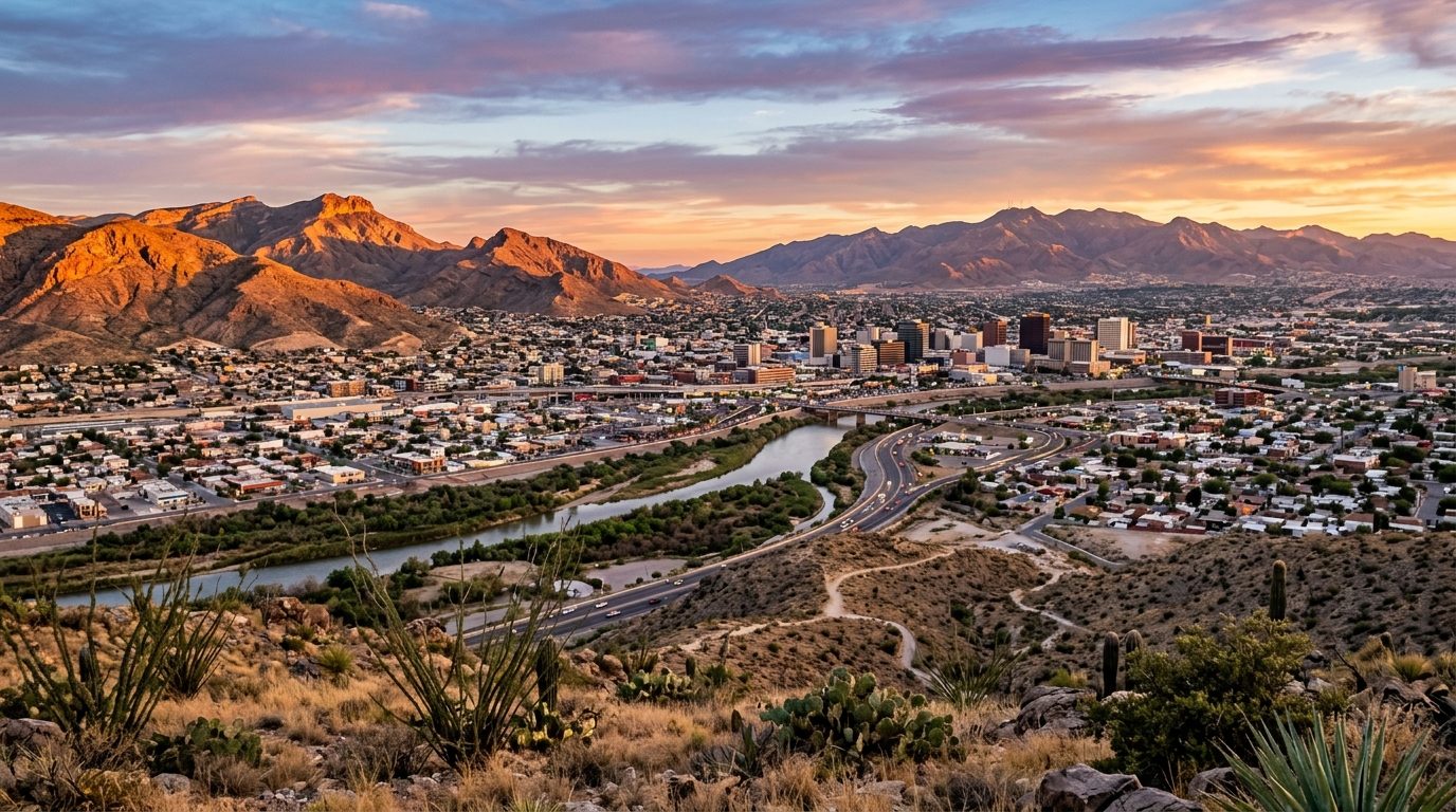
Current real estate market data, news and analysis for the El Paso, TX metropolitan area — 881,291 residents across El Paso and Hudspeth counties.
Data as of May 2026. Sources: Redfin Data Center, U.S. Census Bureau.
Latest El Paso Real Estate News
El Paso Real Estate Market Overview
El Paso sits in the Chihuahuan Desert along the Rio Grande, directly across from the Mexican city of Ciudad Juárez, with the Franklin Mountains — a southern spur of the Rockies — physically splitting the city into west and east halves and shaping neighborhood layout and views throughout. Desert basins flank the range on both sides, and the climate is arid with sparse native vegetation. Housing stock varies by era and location: older central and westside neighborhoods carry Southwest adobe and stucco styles and early-20th-century bungalows, the far east side is largely newer standard suburban-tract construction, and the Upper Valley along the river retains a rural, large-lot, agricultural character.
The Westside, toward the New Mexico line, and the Upper Valley sit at the top of the market, valued for mountain views, cooler elevation, established schools, and proximity to hiking and recreation in the Franklin Mountains. The Lower Valley, southeast along the river toward Ysleta, Socorro, and San Elizario, is historically the metro’s most affordable area, its older and smaller housing stock and slower pace of infrastructure investment reflecting deep agricultural roots. The far East Side, including Horizon City and newer sections of Socorro and Clint, has become the region’s most active new-construction corridor, offering newer, moderately priced suburban housing distinct from the older, lower-cost inner Lower Valley. Northeast El Paso, close to Fort Bliss, skews toward military and working-family housing tied to the base.
Fort Bliss, a major U.S. Army installation, is the dominant force in the local economy, employing a large share of the region’s military and civilian workforce. The binational manufacturing relationship with Ciudad Juárez supports substantial logistics, warehousing, and trade-support employment on the U.S. side, with the shared border crossing among the busiest trade corridors between the two countries. The University of Texas at El Paso, University Medical Center, the local school district, and city and federal government round out the metro’s largest employers, alongside a sizable healthcare sector.
Water is a long-term regional concern given the desert setting, and the local utility has invested heavily in alternative supply, including one of the world’s larger inland desalination plants, to reduce reliance on the Rio Grande and underlying aquifers. Texas levies no state income tax, but because El Paso’s tax base skews more residential than commercial relative to many Texas metros, the property tax burden on homeowners here runs proportionally higher than in some other parts of the state. Seismic risk is generally considered low, though not zero given nearby fault systems. Growth here tracks Fort Bliss expansions and cross-border trade investment closely, and transit, while limited, includes a revived streetcar line connecting downtown and the university in addition to bus service — worth checking for anyone hoping to reduce car dependency.
Cities and Towns in the El Paso Metro Area
Notable Communities and Neighborhoods
El Paso Real Estate Market FAQ
How is the El Paso housing market organized?
It splits between the Westside and Upper Valley near the Franklin Mountains, the more affordable Lower Valley toward Ysleta and Socorro, and a fast-growing far East Side of newer suburban construction near Horizon City and Clint.
Which areas tend to be pricier and which more affordable?
The Westside and Upper Valley sit at the top of the market for mountain views and established schools, while the Lower Valley toward Ysleta, Socorro, and San Elizario is generally the most affordable.
What should buyers verify before purchasing here?
Confirm actual water-supply and utility infrastructure for any property in outlying or newly developed areas, and factor a proportionally higher residential property tax burden into budgeting given the local tax base.
What regional risk factor is most important to understand?
Long-term water supply is the region’s defining planning concern given its desert setting, and the local utility’s continued investment in alternative sources like desalination is a genuine factor shaping future growth.
Nearby Markets