
Current real estate market data, news and analysis for the Twin Falls, ID metropolitan area — 123,901 residents across Jerome and Twin Falls counties.
Data as of May 2026. Sources: Redfin Data Center, U.S. Census Bureau.
Latest Twin Falls Real Estate News
Coverage of this market is coming soon. Browse all housing market news.
Twin Falls Real Estate Market Overview
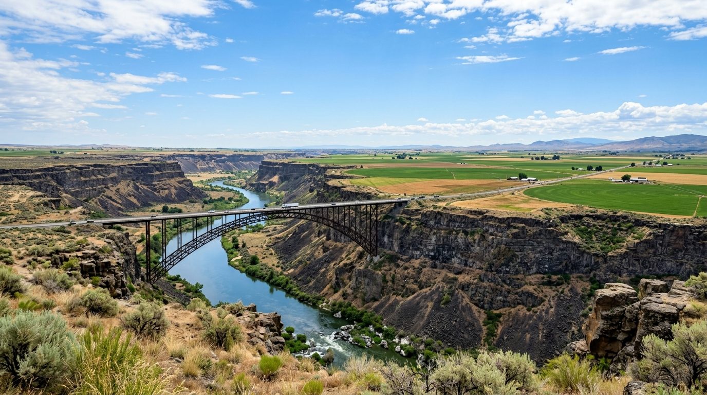
Twin Falls sits on a broad basalt plain along the south rim of the Snake River Canyon, in the Magic Valley region of south-central Idaho. The canyon cuts a deep gorge through the plain, crossed by the Perrine Bridge, with Shoshone Falls along its course. The landscape is high desert: flat farmland threaded by irrigation canals, giving way to abrupt canyon walls near the city’s core. The climate is semiarid, with cold winters, hot summers, and low precipitation. Housing reflects the region’s origins as a planned agricultural community: Twin Falls was laid out as a townsite once canal irrigation made farming possible on the plain above the canyon, and neighborhoods grew outward from that grid in waves tied to farming and, later, food processing. Older core neighborhoods keep early-era bungalow and cottage construction; outlying subdivisions are mostly single-family ranch and split-level homes. Jerome, Buhl, Filer, Kimberly, and smaller towns such as Hansen, Hazelton, Eden, Murtaugh, Castleford, and Hollister stay oriented around agriculture, with a more rural pattern than Twin Falls.
Homes closest to the canyon rim and the trail that follows it tend to carry a premium, since canyon views are scarce on an otherwise flat plain; subdivisions near the rim, near golf courses, and newer construction along the Snake River corridor sit toward the higher end, as do larger-lot subdivisions on Twin Falls’ growing edges. The original downtown grid and surrounding neighborhoods hold small, older homes and commercial buildings, generally priced below newer suburban construction. Prices tend to decline moving into the smaller agricultural towns, where housing stock is older and lots are larger; Jerome and Kimberly, while still agricultural, have absorbed more suburban growth as commuting to Twin Falls has eased and food-processing jobs have expanded.
The Magic Valley economy rests on irrigated agriculture and the food-processing industry built up around it. Twin Falls and Jerome County together host a concentration of dairy, cheese, and yogurt processors, including Chobani’s Twin Falls yogurt plant, one of the largest of its kind, along with Clif Bar, Glanbia Foods, Amalgamated Sugar Company, and Lamb Weston, plus Jerome processors such as Idaho Milk Products, Agropur, and Darigold. Recreational-vehicle maker Jayco also has a plant in the area. Healthcare is anchored by St. Luke’s Magic Valley Medical Center, a major regional employer, and the College of Southern Idaho serves as both employer and training hub for these industries. Dairy herds and cropland surround the built-up areas, so agribusiness remains the region’s defining economic thread.
Water is the organizing resource here, and buyers should understand how it is delivered before purchasing: much of the farmland and many older parcels carry irrigation water rights or shares in a canal company such as the Twin Falls Canal Company, conveyed and assessed separately from the land, and pressurized irrigation serves many newer subdivisions. Canyon-rim properties warrant attention to basalt geology and slope stability. Because the metro remains a working agricultural region, buyers moving into fringe subdivisions should check whether adjacent parcels are zoned for farming, feedlots, or dairies, which can affect noise and odor; land-use rules vary among Twin Falls, the counties, and the smaller towns. Property taxes, zoning, and irrigation-district assessments are set locally and should be verified with the relevant city or county office; the climate also brings wide seasonal swings and occasional wildfire smoke.
Cities and Towns in the Twin Falls Metro Area
Notable Communities and Neighborhoods
Twin Falls Real Estate Market FAQ
How is the Twin Falls metro area organized geographically?
The metro spans Twin Falls and Jerome counties along the Snake River Canyon in south-central Idaho’s Magic Valley. The city of Twin Falls sits on the south rim of the canyon and functions as the metro’s commercial and healthcare hub, while Jerome lies across the canyon and anchors much of the dairy-processing industry. Smaller incorporated towns, including Kimberly, Filer, Buhl, Hansen, Hazelton, Eden, Murtaugh, Castleford, and Hollister, ring the two population centers and remain closely tied to surrounding farmland.
Which parts of the metro tend to be pricier, and why?
Homes near the canyon rim and the trail system that follows it, along with newer subdivisions on the city’s growing edges, tend to sit at the higher end because canyon views are limited and new construction carries higher costs. The older downtown core and the smaller outlying agricultural towns generally offer lower-priced, older housing stock on larger or more utilitarian lots.
What should buyers verify locally before purchasing in this metro?
Buyers should confirm whether a property carries irrigation water rights or shares in a canal company, how those are assessed and transferred, and whether pressurized irrigation service is available. It is also worth checking zoning on adjacent parcels, especially near the urban edge where working farms, dairies, or feedlots may border residential development, and verifying property tax rates and any canal or irrigation-district assessments with the appropriate city or county office.
What region-specific risk should buyers be aware of?
The Snake River Canyon’s basalt walls create areas of steep slope with potential for erosion or rockfall near the rim, so canyon-adjacent lots merit a geotechnical or slope-stability review before building or buying. Because much of the region depends on shared irrigation infrastructure, water delivery, canal maintenance, and drainage are also worth investigating, since they are governed by irrigation districts and canal companies rather than municipal utilities.
Nearby Markets