
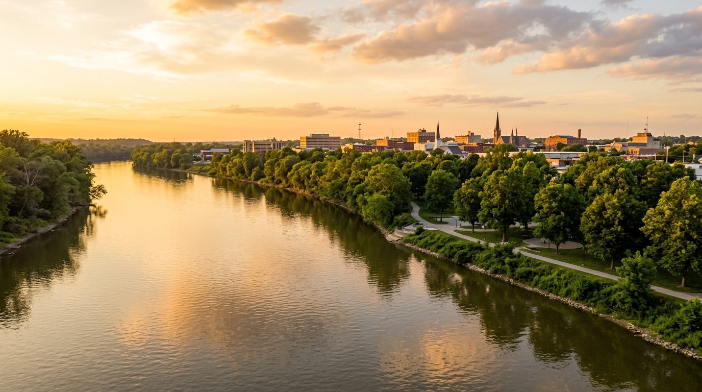
Current real estate market data, news and analysis for the Terre Haute, IN metropolitan area — 169,241 residents across Clay, Sullivan, Vermillion and Vigo counties.
Data as of May 2026. Sources: Redfin Data Center, U.S. Census Bureau.
Latest Terre Haute Real Estate News
Coverage of this market is coming soon. Browse all housing market news.
Terre Haute Real Estate Market Overview
Terre Haute sits on the eastern bank of the Wabash River in west-central Indiana, near the Illinois state line, and anchors the four-county Wabash Valley metro of Clay, Sullivan, Vermillion, and Vigo counties. The city occupies a broad plateau above the river, with low bluffs on its east side marking the edge of the historic floodplain; Lost Creek and Honey Creek drain the northern and southern parts of town before reaching the Wabash. Housing stock reflects the city’s nineteenth- and early twentieth-century growth as a river, rail, and coal-mining center: grid-platted streets carry brick and frame Victorian, Queen Anne, and Colonial Revival homes near downtown and Indiana State University, while surrounding county towns mix small-town Main Street cores with farmhouses, mobile homes, and postwar ranch subdivisions on rural acreage.
Within Terre Haute, the east side toward Deming Park and the streets radiating from Collett Park carry higher relative value because of larger lots, mature tree canopy, and greater distance from the river’s historic flood line and older industrial corridors. Newer subdivisions built on higher ground along the city’s eastern edge, near the casino resort and outlying retail corridors, follow the same pattern. Lower-cost housing clusters in the dense, older grid neighborhoods nearest downtown, the university, and the hospital district, where smaller lots and a larger share of rental and multi-family conversions bring costs down. West Terre Haute and other river-bottom communities sit closer to the floodplain and carry that risk into their pricing. Rural crossroads towns across Clay, Sullivan, and Vermillion counties price closer to agricultural and small-town economics, reflecting their distance from Terre Haute’s job base.
The regional economy centers on healthcare, education, government, and manufacturing. Union Health and Terre Haute Regional Hospital anchor healthcare, while Indiana State University, Rose-Hulman Institute of Technology, Saint Mary-of-the-Woods College, and Ivy Tech Community College make higher education a major employer base; Vigo County School Corporation ranks among the area’s largest employers as well. Government employment includes Vigo County, the City of Terre Haute, and the U.S. Federal Correctional Complex. Manufacturing carries on the area’s industrial legacy through companies such as Amcor, Taghleef, Great Dane Trailers, Sony DADC, and Advics, producing flexible packaging, films, trailers, and automotive and electronics components. The Terre Haute Casino Resort, built on the city’s east side, added a newer hospitality employment base. The Chamber of Commerce and local economic development officials continue courting advanced-manufacturing and logistics investment tied to the rail lines and crossing highway corridors that meet at Terre Haute.
Buyers should check FEMA flood maps before purchasing near the Wabash River, Lost Creek, or Honey Creek, since West Terre Haute and other low-lying parcels sit inside mapped flood hazard areas tied to the region’s flood history. Indiana’s constitutional property tax caps limit bills as a share of assessed value, with separate caps for owner-occupied homes, rental or agricultural property, and business property, so the applicable cap varies by how a parcel is used. Terre Haute operates a fare-free public bus system, but most residents outside downtown rely on cars. Homes in the locally designated historic districts may carry design-review rules for exterior changes, and older housing stock throughout the metro warrants inspection for aging wiring, roofing, and foundations. Properties outside city limits often depend on private wells and septic systems rather than municipal utilities.
Cities and Towns in the Terre Haute Metro Area
Notable Communities and Neighborhoods
Terre Haute Real Estate Market FAQ
How is the Terre Haute metro area organized geographically?
Terre Haute is the urban core of a four-county metro along the Wabash River in western Indiana. Historic, grid-platted neighborhoods surround downtown and Indiana State University, newer residential development has pushed toward the city’s east side, and a ring of small incorporated towns and rural crossroads communities across Clay, Sullivan, Vermillion, and Vigo counties each carry their own small housing stock tied to local industry and agriculture rather than to the city’s job market.
Which parts of the metro tend to carry higher relative value, and why?
Areas east of downtown near Deming Park and Collett Park, along with newer subdivisions on the city’s eastern edge, tend to carry higher relative value because of larger lots, mature tree canopy, and distance from the Wabash River’s historic floodplain and older rail-and-industrial corridors. Older, denser neighborhoods closer to downtown, the university, and the hospital district trend lower due to smaller lots and a larger share of rental and multi-family housing.
What should buyers verify before purchasing in this market?
Buyers should confirm a parcel’s flood-zone status using Federal Emergency Management Agency maps, determine whether it is served by municipal water and sewer or by a private well and septic system (common outside Terre Haute’s city limits), check whether a home falls within a locally designated historic district with exterior design-review requirements, and have older homes inspected for aging wiring, roofing, and foundation condition given the age of much of the region’s housing stock.
What is the main environmental or land-use risk in this metro?
Flooding along the Wabash River and its tributaries, Lost Creek and Honey Creek, is the region’s defining natural hazard, and West Terre Haute along with other low-lying river-adjacent parcels have a documented history of flooding that should be checked against current flood maps. Buyers should also note that rail lines and manufacturing sites run through parts of the city and its river corridor, which can mean industrial neighbors, freight noise, or environmental review considerations for some in-town and riverfront parcels.
Nearby Markets