
Current real estate market data, news and analysis for the Harrisonburg, VA metropolitan area — 140,155 residents across Harrisonburg city and Rockingham counties.
Data as of May 2026. Sources: Redfin Data Center, U.S. Census Bureau.
Latest Harrisonburg Real Estate News
Coverage of this market is coming soon. Browse all housing market news.
Harrisonburg Real Estate Market Overview
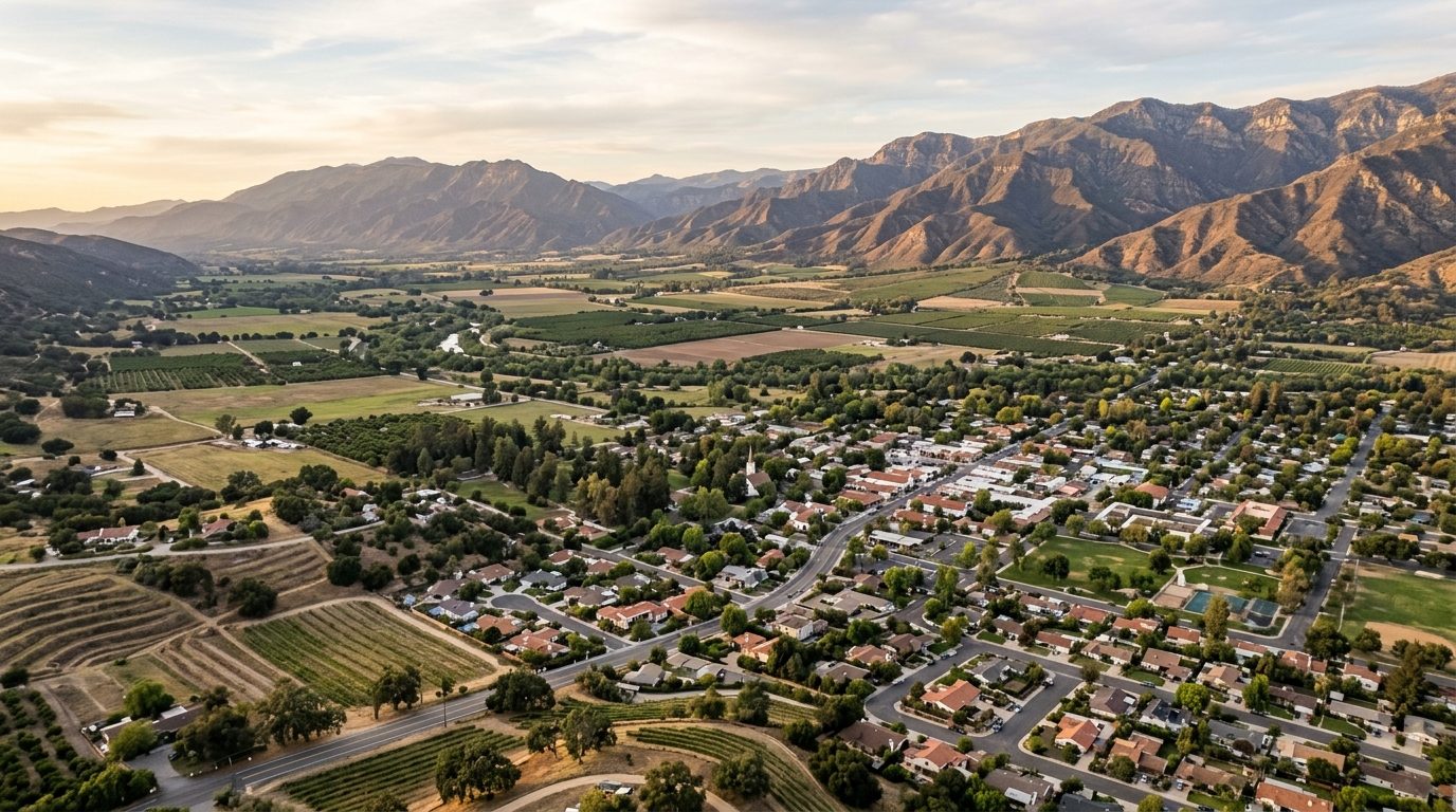
Harrisonburg and Rockingham County sit in the central Shenandoah Valley, between the Blue Ridge Mountains to the east and the Allegheny Mountains to the west, split by the standalone ridge of Massanutten Mountain. Interstate 81 runs north-south through the metro, paralleled by the older U.S. Route 11 corridor, while U.S. Route 33 crosses east-west toward the Blue Ridge. The valley floor is rolling limestone country drained by the North River and its Dry River tributary, part of the Shenandoah watershed. Housing stock layers older brick and frame homes in Harrisonburg’s core with mid-century ranch subdivisions farther out, while the surrounding towns of Bridgewater, Dayton, Broadway, Timberville, Elkton, Mount Crawford, and Grottoes keep small, walkable cores ringed by newer construction, and the unincorporated county between them remains largely farmland.
Within Harrisonburg, streets closest to James Madison University carry a premium tied to steady student rental demand rather than to size or finish, which keeps turnover brisk. Old Town and the adjacent downtown historic district hold value for limestone and brick homes in Queen Anne, Colonial Revival, and Craftsman styles near downtown shops and the regional hospital. Newer subdivisions at the city’s edges and in Bridgewater and Dayton, near Bridgewater College and JMU, draw families seeking newer construction and established schools. Parcels with unobstructed mountain views or river frontage also sit toward the upper end locally. Older neighborhoods farther from downtown and campus, older rental stock elsewhere in the county, and farmhouses distant from the interstate corridor tend to trade at more modest levels.
This economy is anchored by James Madison University, whose campus and students make it the metro’s largest institution and a steady driver of jobs and off-campus housing demand; Bridgewater College and Eastern Mennonite University add two more private campuses to the county. Health care is another major employer, led by Sentara RMH Medical Center, the regional hospital anchoring the city’s medical district. Food and agriculture processing forms a third pillar: Cargill runs a turkey hatchery, feed mill, and processing and distribution operations locally, and Pilgrim’s Pride maintains a substantial poultry-processing presence, reflecting Rockingham County’s standing as a leading Virginia poultry- and dairy-farming county. Education, health services, and food manufacturing together make up the bulk of the metro’s employment base, supplemented by distribution and retail serving the valley.
A defining feature of Rockingham County is its commitment to keeping farmland in production: the county maintains agricultural and forestal districts restricting non-farm development on enrolled parcels, and zoning outside the towns favors large-lot agricultural use over suburban subdivision, so land-use rules and utility availability differ sharply between city, town, and county parcels. The valley’s limestone bedrock produces karst terrain prone to sinkholes and irregular groundwater flow, affecting well drilling, septic placement, and foundation stability in parts of the county. Low ground along the North River, Dry River, and Blacks Run carries mapped floodplain that limits building and can affect insurance. Public transit is limited to Harrisonburg’s city bus system and JMU’s campus routes, so most households outside the core rely on a vehicle. Buyers should confirm whether a property sits inside city or town limits or on unincorporated county land, since tax rates, utility service, and schools change at those boundaries, and rural buyers should verify well and septic permits and any agricultural district enrollment.
Cities and Towns in the Harrisonburg Metro Area
Notable Communities and Neighborhoods
Harrisonburg Real Estate Market FAQ
How is the Harrisonburg metro area organized?
The metro consists of the independent city of Harrisonburg, home to James Madison University and the region’s downtown and medical district, surrounded by unincorporated Rockingham County and the smaller incorporated towns of Bridgewater, Broadway, Dayton, Elkton, Grottoes, Mount Crawford, and Timberville. Harrisonburg functions as the commercial and institutional hub, with Interstate 81 as the main north-south spine and U.S. Routes 11 and 33 connecting the surrounding towns and rural areas to the city. Most of the towns are close enough for a short commute into Harrisonburg, while outlying farmland areas of the county sit farther from services and employment centers.
Which parts of the Harrisonburg area tend to be pricier, and why?
Areas closest to James Madison University see strong demand tied to the student rental market, which keeps values firm regardless of a property’s age or condition. Harrisonburg’s Old Town and downtown historic district command interest for their older limestone and brick architecture and walkable proximity to downtown and the hospital. Newer subdivisions in and around Bridgewater and Dayton draw families for updated construction and established schools, and parcels with clear mountain views or river frontage tend to sit at the upper end. Older housing farther from downtown and campus, and rural land distant from the interstate corridor, generally trades at more modest levels.
What should buyers verify before purchasing in this market?
Buyers should confirm whether a parcel is inside Harrisonburg city limits, inside one of the incorporated towns, or on unincorporated county land, since tax rates, water and sewer service, and school assignment can all change at those boundaries. Rural buyers should verify well and septic permits and system condition, check whether a parcel is enrolled in an agricultural or forestal district that could limit future use, and confirm zoning if any change of use or subdivision is planned. It’s also worth checking floodplain maps for property near the North River, Dry River, or smaller creeks, and reviewing any HOA or covenant documents for the newer subdivisions around Harrisonburg’s edges and the surrounding towns.
What is a distinctive local risk to be aware of in this area?
The Shenandoah Valley’s limestone bedrock creates karst terrain, which is prone to sinkholes and unpredictable underground water movement. In parts of Rockingham County this can affect well-water supply and quality, complicate septic system placement, and in some cases affect foundation stability, so a site or soil evaluation is worth pursuing for rural and semi-rural parcels before purchase. Property near the North River, Dry River, and smaller tributaries such as Blacks Run should also be checked against floodplain maps, since low-lying ground in the valley can be subject to flooding that affects insurance and future building.
Nearby Markets