
Current real estate market data, news and analysis for the Eugene-Springfield, OR metropolitan area — 381,584 residents across Lane county.
Data as of May 2026. Sources: Redfin Data Center, U.S. Census Bureau.
Latest Eugene Real Estate News
Coverage of this market is coming soon. Browse all housing market news.
Eugene Real Estate Market Overview
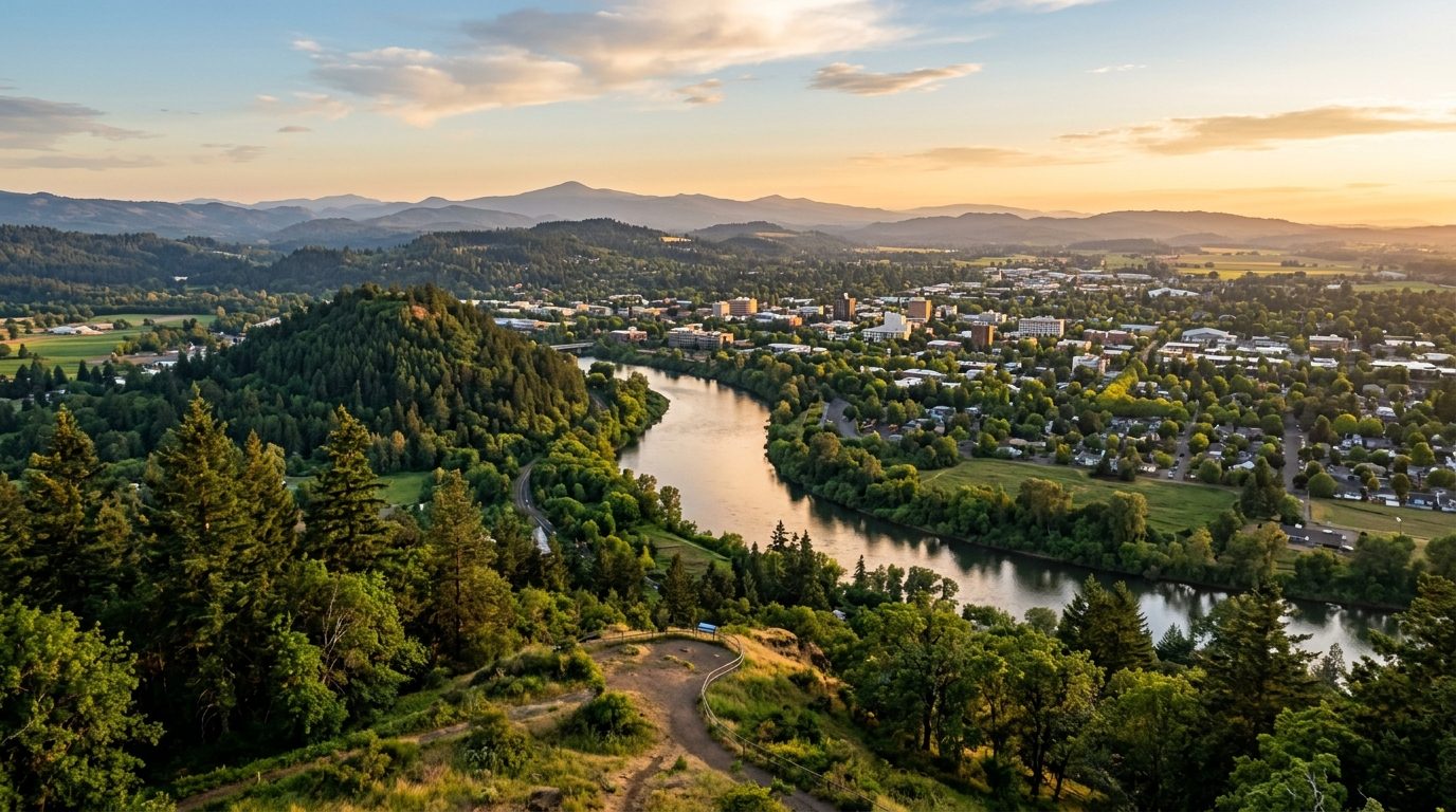
Eugene-Springfield sits at the southern end of the Willamette Valley in Lane County, where the McKenzie and Willamette rivers meet, within a short drive of the Pacific Coast and the Cascade Range foothills. Eugene and Springfield form a contiguous urban core on the valley floor, framed by buttes and river greenways. A ring of smaller towns rounds out the metro: Junction City, Coburg, and Veneta sit amid valley farmland to the north and west; Cottage Grove and Creswell anchor the valley to the south; Florence and Dunes City occupy coastal dunes and lakes; and Oakridge, Westfir, and Lowell sit in forested foothill and reservoir settings toward the Cascades. Housing stock follows this geography: older bungalow and craftsman neighborhoods near the city cores, newer subdivisions and manufactured-home parks on the metro’s edges, timber-town cottages and cabins in the foothills, and coastal cottages around Florence.
Within the core cities, homes near the University of Oregon, the south hills, and the older tree-lined neighborhoods south and east of downtown Eugene tend to sit at the higher end, reflecting mature landscaping, walkability, and proximity to campus and hospital jobs. West Eugene and much of Springfield, including areas built out during the postwar timber era, generally occupy a more moderate tier, though newer development around Springfield’s Gateway and RiverBend corridor has narrowed that gap. Outlying valley towns such as Junction City, Veneta, and Creswell offer lower-cost, small-town alternatives within commuting range of Eugene. Florence’s oceanfront and view properties carry a premium tied to coastal scarcity, while foothill communities like Oakridge and Westfir sit toward the lower end, shaped by distance from major employers and wildfire exposure.
The metro’s economy centers on education, healthcare, and public institutions layered over a historic timber base. The University of Oregon, based in Eugene, is among the region’s largest employers and anchors a higher-education sector alongside Lane Community College. PeaceHealth is the dominant private employer, running Sacred Heart Medical Center’s University District and RiverBend campuses in Eugene and Springfield and Peace Harbor Medical Center in Florence, alongside McKenzie-Willamette Medical Center in Springfield. Eugene School District 4J and Springfield Public Schools are also major employers. Eugene is corporate headquarters to retailers Bi-Mart and Market of Choice, and the region retains ties to wood-products and recreational-vehicle manufacturing and renewed advanced-manufacturing investment. Outside the core cities, timber, agriculture, and tourism around Florence and Oakridge remain significant.
Wildfire risk is a real consideration on the metro’s forested edges: the McKenzie River corridor and foothill communities near Oakridge and Westfir sit within terrain that burned extensively in the 2020 Holiday Farm Fire, and buyers there should expect closer scrutiny of defensible space, insurance availability, and evacuation access. Oregon’s land-use system also shapes development here: Eugene and Springfield each maintain a separate urban growth boundary under state law, concentrating new subdivisions inside city limits and preserving surrounding farm and forest land, limiting where rural or large-lot development can legally occur. Oregon has no state sales tax, so property and income taxes carry more relative weight, and assessed values used for property tax can diverge from market value, so buyers should verify actual tax history rather than assume it from price. Buyers should also confirm flood zone status near local rivers, check well and septic status in unincorporated areas, and verify a parcel’s growth-boundary status.
Cities and Towns in the Eugene Metro Area
Notable Communities and Neighborhoods
Eugene Real Estate Market FAQ
How is the Eugene-Springfield metro area organized geographically?
The metro is anchored by the contiguous cities of Eugene and Springfield on the Willamette Valley floor, with a ring of distinct outlying communities: valley farm towns like Junction City, Coburg, and Veneta to the north and west, Cottage Grove and Creswell along the valley to the south, coastal Florence and Dunes City on the Oregon Coast, and forested foothill towns like Oakridge, Westfir, and Lowell along the upper Willamette drainage toward the Cascade Range.
Which parts of the metro are pricier, and why?
Areas near the University of Oregon, Eugene’s south hills, and older tree-canopied neighborhoods close to downtown Eugene tend to carry higher prices due to walkability, mature landscaping, and proximity to campus and hospital employment. Coastal Florence carries its own premium tied to ocean and view scarcity. West Eugene, much of Springfield, and inland valley towns like Junction City and Veneta sit at more moderate levels, while remote foothill towns tend to be the most affordable, reflecting distance from major job centers.
What should buyers verify locally before purchasing in this metro?
Buyers should confirm whether a property sits inside or outside a city’s urban growth boundary, since that determines zoning and future development potential under Oregon’s land-use system. In unincorporated Lane County and coastal areas, well and septic status should be checked directly rather than assumed, flood zone status should be verified for properties near the Willamette, McKenzie, or Siuslaw rivers, and actual property tax history should be pulled locally, since Oregon’s assessed values can differ from market value.
What wildfire risk should buyers be aware of in this metro?
Forested foothill and river-corridor communities, particularly along the McKenzie River near Oakridge and Westfir, sit within terrain that has burned in major wildfires, including the 2020 Holiday Farm Fire. Buyers considering property in these areas should look into defensible-space requirements, local evacuation routes, and the availability and cost of fire insurance before purchasing, since coverage and terms can vary significantly from the valley floor to the forested edges of the metro.
Nearby Markets