
Current real estate market data, news and analysis for the Springfield, MO metropolitan area — 500,694 residents across 5 counties in Missouri.
Data as of May 2026. Sources: Redfin Data Center, U.S. Census Bureau.
Latest Springfield Real Estate News
Coverage of this market is coming soon. Browse all housing market news.
Springfield Real Estate Market Overview
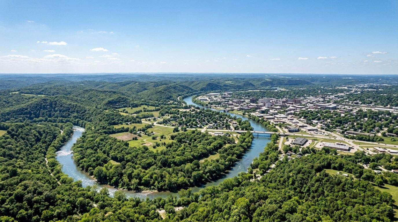
Springfield sits on the Springfield Plateau of the Ozark Mountains in southwest Missouri, a landscape of limestone bedrock, rolling hills, caves, and spring-fed streams rather than dramatic elevation change. The James River wraps the metro’s east and south side, the Finley River runs through Christian County, and Wilson’s Creek cuts through the southwest side near the Civil War battlefield of the same name. Older neighborhoods near downtown and Missouri State University hold bungalows, foursquares, and Craftsman homes from the early twentieth century, while postwar ranch and split-level houses fill the city’s middle rings. Farther out, in Nixa, Ozark, Republic, Battlefield, and Rogersville, newer subdivisions of two-story traditional homes have filled former farmland since the 1990s.
Within Springfield, the neighborhoods around Missouri State University, including Rountree, Phelps Grove, and the Walnut Street Historic District, carry a premium for walkability and preserved early-1900s architecture. South and southeast Springfield, including golf-course communities like Rivercut and the gated Highland Springs, sit at the higher end of the market because of newer construction and proximity to the Battlefield Road and South Campbell retail corridors. Christian County suburbs south of the city, particularly Nixa, Ozark, and parts of Battlefield, draw a premium tied to newer schools and access to the James and Finley rivers. Older sections of central and north Springfield are generally more affordable, and prices ease further with distance in Dallas, Polk, and Webster counties, aside from lake-adjacent acreage near Stockton and Pomme de Terre lakes outside Bolivar.
The local economy centers on healthcare, retail headquarters, and logistics. CoxHealth and Mercy operate the region’s two major hospital systems and rank among its largest employers, supported by a growing medical-education presence tied to Missouri State University and the University of Missouri’s expanding Springfield campus. Bass Pro Shops, the outdoor-retail chain, is headquartered in Springfield, as is O’Reilly Automotive, the national auto-parts retailer. Prime Inc., a large refrigerated and flatbed trucking carrier, is also based in the city, reflecting its position at the junction of Interstate 44 and U.S. Highways 60 and 65. Missouri State University, Springfield Public Schools, and state government offices add substantial public-sector employment alongside a manufacturing and distribution base built around highway access.
Buyers should weigh southwest Missouri’s severe-weather exposure: the region sits in a corridor prone to spring and early-summer tornadoes and damaging thunderstorm winds, so wind and hail insurance costs are worth confirming directly with carriers. The karst geology beneath the Ozarks can produce sinkholes and localized drainage issues on individual lots, particularly outside city utility areas, making a site-specific survey and confirmation of public versus private water and sewer service worthwhile. Missouri property taxes are set locally by county assessors and vary with the overlapping city, county, school, and fire-protection districts a parcel falls in. The metro is largely car-dependent, with City Utilities running the area’s limited bus service mostly within Springfield’s city limits. Growth continues to push into Christian County, and buyers in unincorporated areas should independently verify zoning, school-district boundaries, and flood-zone status.
Cities and Towns in the Springfield Metro Area
Notable Communities and Neighborhoods
Springfield Real Estate Market FAQ
How is the Springfield, MO metro area organized?
The metro spans Christian, Dallas, Greene, Polk, and Webster counties, anchored by the city of Springfield in Greene County. Surrounding it are satellite communities such as Nixa, Ozark, Republic, Battlefield, Willard, Rogersville, and Strafford, along with smaller county-seat towns like Bolivar, Buffalo, and Marshfield that serve their own rural areas farther from the urban core.
Which parts of the Springfield area tend to be pricier, and why?
Historic neighborhoods near Missouri State University, golf-course and gated communities in south Springfield, and newer suburbs in Christian County such as Nixa and Ozark tend to sit at the higher end of the local market. Reasons include walkable, well-preserved architecture in the older core, newer construction and larger lots to the south, and school-district reputation and river or lake access in Christian County and around Bolivar.
What should buyers verify locally before purchasing in the Springfield metro?
Confirm whether a property is served by city water and sewer or by a private well and septic system, check the property’s specific flood-zone designation given the region’s stream valleys, and verify which city, county, school, and fire-protection district boundaries apply, since tax rates and services can differ between adjacent parcels. It’s also worth checking any HOA rules for golf-course or gated subdivisions.
What is the main regional risk homebuyers should understand in Springfield, MO?
Springfield lies within a Midwest corridor prone to spring and early-summer tornadoes and severe thunderstorms, so wind and hail coverage terms are worth reviewing with an insurer directly. The Ozark region’s underlying limestone karst geology can also produce sinkholes and drainage irregularities on individual lots, which a local survey or geotechnical check can help identify before closing.
Nearby Markets