
Current real estate market data, news and analysis for the Scranton–Wilkes-Barre, PA metropolitan area — 574,418 residents across Lackawanna, Luzerne and Wyoming counties.
Data as of May 2026. Sources: Redfin Data Center, U.S. Census Bureau.
Latest Scranton Real Estate News
Scranton Real Estate Market Overview
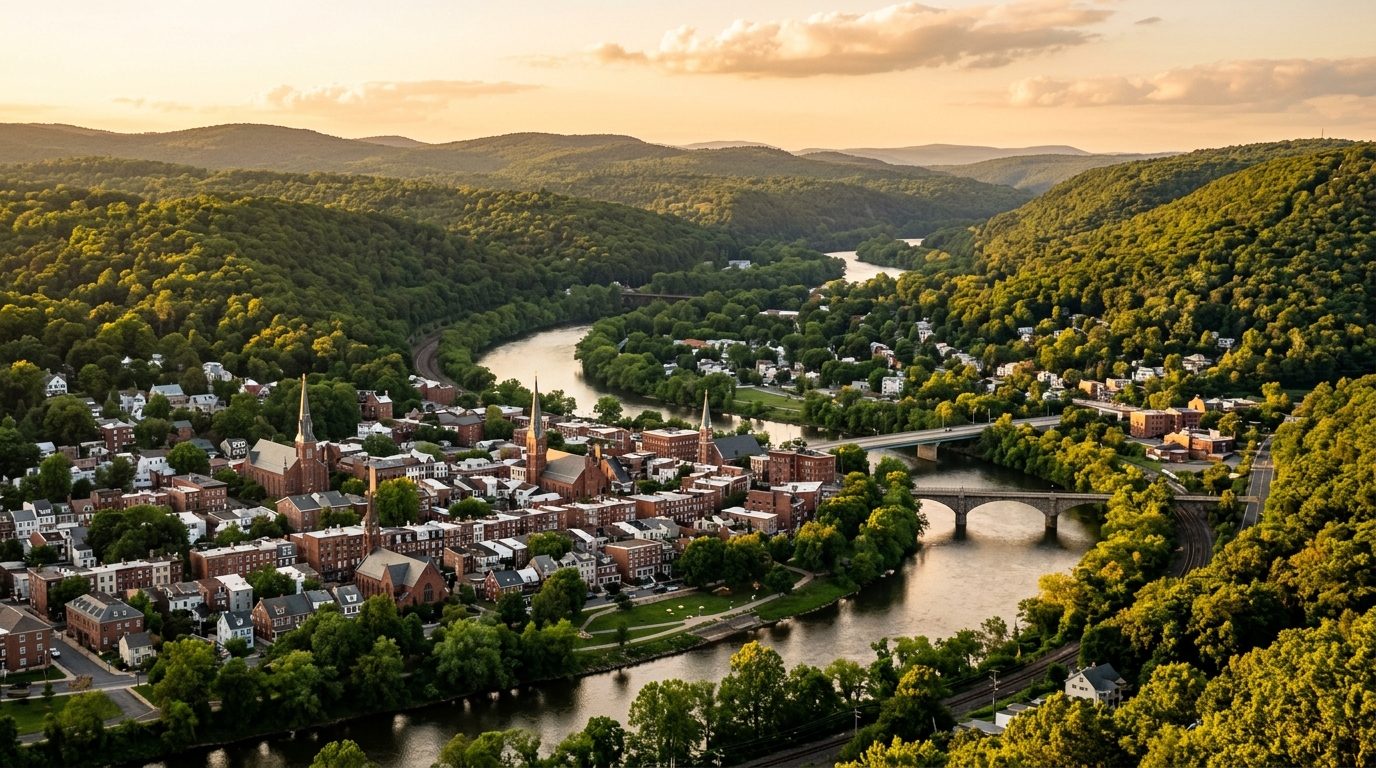
The Scranton–Wilkes-Barre metro sits in the ridge-and-valley section of the northeastern Pennsylvania Appalachians, built around two adjoining river valleys — the Lackawanna Valley, where Scranton, Dunmore, Carbondale, and the Mid-Valley boroughs sit, and the Wyoming Valley to the south, where Wilkes-Barre, Kingston, Pittston, and Nanticoke line the Susquehanna River. The metro also reaches north into rural Wyoming County toward the Endless Mountains. Because the region industrialized early around anthracite coal mining and rail, its urban cores retain dense, walkable grids of rowhouses, twins, and modest single-family homes built from the late 1800s through the 1930s, often stacked on hillsides overlooking the valley floor. Outside the old boroughs, housing shifts to mid-century ranches and split-levels, then to newer subdivisions built on former farmland in the outlying townships.
Higher-priced housing in the metro tends to cluster north of Scranton in the Abingtons — Clarks Summit, Clarks Green, South Abington Township, and Dalton — a commuter corridor along the old Northeast Extension of the Pennsylvania Turnpike known for newer construction, larger lots, and well-regarded school districts. West of Wilkes-Barre, the Back Mountain area around Dallas and Harveys Lake carries a similar character, with lakefront and wooded-lot homes and newer subdivisions. Lower-priced housing concentrates in the older industrial boroughs that grew up around collieries and rail yards — parts of Wilkes-Barre, Nanticoke, Pittston, Plymouth, and Hazleton — where housing stock is older, lots are smaller, and some neighborhoods sit closer to the river’s historic flood plain.
The metro’s economy has diversified well beyond its coal-mining and garment-manufacturing past. Healthcare is now among the largest employment sectors, anchored by Geisinger’s hospitals and outpatient network and by the Commonwealth Health hospital group in Scranton and Wilkes-Barre. Higher education is a significant presence, with the University of Scranton, Marywood University, Wilkes University, King’s College, Misericordia University, and Luzerne County Community College all based in the metro. State government offices in Scranton and Wilkes-Barre add public-sector employment. Warehousing and distribution have grown rapidly along the Interstate 81 and 476 corridors, with large fulfillment and logistics centers operated by companies including Amazon and Chewy. In rural Wyoming County, Procter & Gamble’s Mehoopany plant, one of the company’s largest U.S. manufacturing sites, produces paper and diaper products.
Because the region sits well inland, it is not exposed to hurricane storm surge, but the Susquehanna River has produced serious flooding historically, including the 1972 Hurricane Agnes flood that led the Army Corps of Engineers to raise and extend the levee system protecting Wilkes-Barre and the Wyoming Valley; buyers near the river should confirm current FEMA flood-zone status rather than assume the levees cover every scenario. The region’s long anthracite-mining history also means some properties overlie old underground mine workings, so buyers should ask about mine subsidence and consider Pennsylvania’s state mine subsidence insurance program. Property tax assessments here can lag market values for decades between countywide reassessments — Lackawanna County only recently updated values that had dated to 1968, and Luzerne County’s base year is 2009 — so it’s worth checking a property’s current assessment and local millage rate rather than assuming it reflects market value. Zoning and school district lines also vary by small borough and township, so both should be checked property by property.
Cities and Towns in the Scranton Metro Area
Show all 64
Notable Communities and Neighborhoods
Scranton Real Estate Market FAQ
How is the Scranton–Wilkes-Barre metro laid out geographically?
The metro is built around two connected river valleys in the ridge-and-valley Appalachians: the Lackawanna Valley in the north, centered on Scranton, Dunmore, and the Mid-Valley boroughs, and the Wyoming Valley to the south along the Susquehanna River, centered on Wilkes-Barre, Kingston, and Pittston. Wyoming County, to the north, is more rural and covers the Endless Mountains foothills. Interstate 81 runs the length of the valley and links the two urban cores, while the Pennsylvania Turnpike’s Northeast Extension (I-476) connects the Abingtons area north of Scranton toward the Philadelphia region.
Which parts of the metro tend to have higher home prices, and why?
The Abingtons area north of Scranton (Clarks Summit, Clarks Green, South Abington Township, Dalton) and the Back Mountain area west of Wilkes-Barre (Dallas, Harveys Lake) tend to command higher prices. Both offer newer construction, larger lots, and well-regarded school districts, and both sit along easy commuting routes into the two urban cores. Older boroughs built up around historic coal mining and rail operations — parts of Wilkes-Barre, Nanticoke, Pittston, Plymouth, and Hazleton — tend to have older, smaller housing stock and lower prices.
What should buyers verify locally before purchasing in this metro?
Because the region has dozens of small boroughs and townships packed close together, school district and municipal boundaries can change within a few blocks, so buyers should confirm which district and municipality a specific property falls in, along with the local tax rate. Given the area’s coal-mining history, it’s also worth asking whether a property sits over old underground mine workings and whether mine subsidence insurance makes sense. Properties near the Susquehanna River or its tributaries should be checked against current FEMA flood maps, and rural parcels in Wyoming County or outlying townships may rely on well water and septic systems rather than public utilities, which should be inspected separately.
What’s a region-specific risk buyers should be aware of here?
The Susquehanna River has flooded the Wyoming Valley severely in the past, most notably during Hurricane Agnes in 1972, which prompted the Army Corps of Engineers to expand the levee system protecting Wilkes-Barre and surrounding boroughs; buyers near the river should check current flood-zone designations rather than assume the levee system covers every scenario. The region’s dense history of underground anthracite mining also creates localized mine subsidence risk in parts of both counties, which standard homeowners insurance does not cover — Pennsylvania offers a separate state mine subsidence insurance program for eligible properties.
Nearby Markets