
Current real estate market data, news and analysis for the Lawton, OK metropolitan area — 127,590 residents across Comanche and Cotton counties.
Data as of May 2026. Sources: Redfin Data Center, U.S. Census Bureau.
Latest Lawton Real Estate News
Coverage of this market is coming soon. Browse all housing market news.
Lawton Real Estate Market Overview
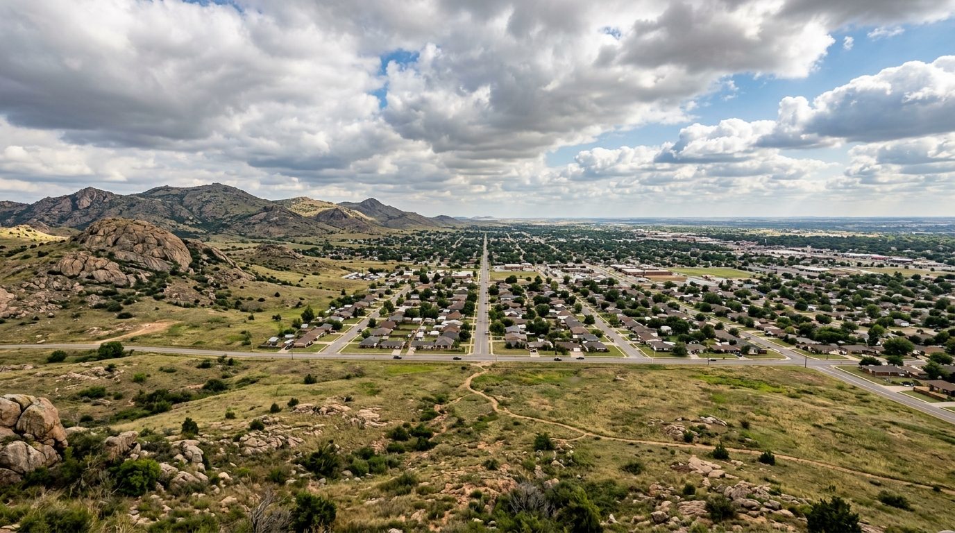
Lawton sits in southwestern Oklahoma on the edge of the southern Great Plains, where flat prairie gives way to the granite outcrops of the Wichita Mountains just north and west of the city. The climate is humid subtropical, with hot summers, mild winters, and a spring severe-weather season typical of the southern Plains. The built environment grew up around Fort Sill, the Army artillery post that has anchored the area since before Oklahoma statehood; successive waves of military expansion drove subdivision building outward from the historic downtown core in rings of ranch-style and split-level homes, with newer construction continuing to push toward the western and northwestern edges of the city and into satellite towns beyond it.
Within the metro, higher-priced housing tends to cluster on Lawton’s west and northwest sides, in newer subdivisions with larger lots, updated schools, and easy access to shopping along the Cache Road corridor, as well as around the golf-course areas on the western edge of town. Established, tree-lined neighborhoods such as Wyatt Acres carry a premium for their age, mature landscaping, and larger floor plans. Housing closer to the Fort Sill gates and in the older central core tends to be more modest and turns over quickly with military reassignment cycles. Outlying towns such as Cache and Elgin, along with the lakeside areas around Lake Lawtonka and Lake Ellsworth, offer more rural, lower-density alternatives within commuting distance of the post and the city center.
The regional economy is built around Fort Sill, which remains the metro’s largest employer and drives sustained demand for housing, retail, and services tied to active-duty personnel, their families, and a sizable veteran and retiree population. Outside the post, the leading private-sector employer is the Goodyear Tire and Rubber Company manufacturing plant, supplemented by food processing at Bar-S Foods and a growing aerospace and advanced-manufacturing sector drawn to industrial parks near the regional airport. Healthcare and education round out the base, with the Memorial Health System of Southwest Oklahoma, Lawton Public Schools, and Cameron University among the area’s largest civilian employers. City, county, and federal government also account for a meaningful share of area jobs.
Southwestern Oklahoma sits within Tornado Alley, and severe spring and early-summer thunderstorms are a routine part of life; buyers should ask about storm shelters, safe rooms, and a property’s severe-weather history. Oklahoma exempts active-duty military pay from state income tax for residents, which shapes household budgeting for the area’s large service-member population. Land-use regulation is relatively light by national standards, and the metro is almost entirely car-dependent, with no fixed-route rail or rapid transit system. Because a large share of the rental market turns over with permanent-change-of-station orders, rental supply and lease timing can swing with the military calendar. Buyers and renters alike should independently verify school-zone boundaries, floodplain status, water source and well or municipal service, and any homeowners-association rules before committing to a property.
Cities and Towns in the Lawton Metro Area
Notable Communities and Neighborhoods
Lawton Real Estate Market FAQ
How is the Lawton metro area organized geographically?
The metro centers on the city of Lawton, immediately adjacent to Fort Sill on its north side, and extends across Comanche and Cotton counties to include a ring of smaller towns and rural communities. The Wichita Mountains and their lakes lie to the north and west of the city, while flatter agricultural land extends south and east toward the Red River and the Texas border. Most residential growth radiates outward from central Lawton along a handful of major arterial roads.
Which parts of the metro tend to be pricier, and why?
Homes on Lawton’s west and northwest side, in newer subdivisions and near the golf-course areas, generally command higher prices due to lot size, school access, and newer construction. Established close-in neighborhoods with mature trees and larger, older homes also carry a premium. Areas nearest the Fort Sill gates and the older downtown core tend to be more affordable and see faster turnover tied to military assignments, while small outlying towns and lakeside areas offer lower-density, rural-leaning alternatives at generally lower price points.
What should buyers verify locally before purchasing in this metro?
Because a large share of the housing stock and rental market is tied to Fort Sill, buyers should confirm which school district and attendance zone a property falls in, whether it has a storm shelter or safe room, its flood zone status, and whether it is served by municipal water and sewer or a private well and septic system. In smaller outlying towns, buyers should also confirm road maintenance responsibility and any applicable county versus city zoning or building codes.
What is the region’s severe-weather risk, and how does the military presence affect housing turnover?
The metro lies within Tornado Alley and experiences a recurring severe-weather season each spring and early summer, so storm shelters and safe rooms are a common and often expected feature of local homes. Separately, because Fort Sill drives frequent permanent-change-of-station moves, the rental and for-sale markets both see seasonal surges tied to military transfer schedules, which can affect how quickly homes list, rent, or sell at different points in the year.
Nearby Markets