
Current real estate market data, news and analysis for the Erie, PA metropolitan area — 265,832 residents across Erie county.
Data as of May 2026. Sources: Redfin Data Center, U.S. Census Bureau.
Latest Erie Real Estate News
Erie Real Estate Market Overview
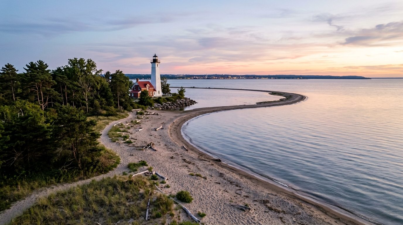
Erie, Pennsylvania sits on the southern shore of Lake Erie, anchored by the curving sand peninsula of Presque Isle that shelters Presque Isle Bay and the city’s harbor. The immediate lakeshore is flat, but terrain rises gradually inland into the low hills of the Allegheny Plateau toward the New York state line, giving the metro a mix of flat waterfront, modest ridges, and farmland. The climate is humid continental, with warm summers and cold, snowy winters. Housing stock in the city core dates largely to the late nineteenth and early twentieth centuries, with wood-frame Victorians, foursquares, and colonial-revival houses set on narrow urban lots. Surrounding townships hold post-war ranches, split-levels, and newer subdivisions, while the outlying boroughs and rural stretches of the county retain small-town Main Street housing and farmhouses on larger parcels, reflecting a mix of urban core, suburban township, and rural small-town character across the metro.
Within the city, the West Bayfront’s restored Victorian streets, including the grand houses along West Sixth Street, draw strong interest for their architecture and walkable proximity to Presque Isle Bay and downtown. Waterfront and bluff-top settings toward Harborcreek, Fairview, and North East, where orchards and vineyards line the shoreline toward the New York border, similarly carry a premium for lake views and water access. Millcreek Township, the county’s largest suburban township, sees consistent demand tied to its schools, parks, and retail base bordering Presque Isle State Park. Older industrial corridors within the city, and some outlying rural boroughs farther from the lakefront and from employment centers, tend to sit toward the lower end of the price range.
The regional economy centers on insurance, health care, higher education, and manufacturing. Erie Insurance, a national property and casualty carrier, is headquartered downtown and ranks among the county’s largest private employers. UPMC Hamot and Saint Vincent Hospital, part of Allegheny Health Network, anchor the health care sector with campuses in and near downtown. Wabtec operates a large locomotive manufacturing plant in Lawrence Park Township, successor to the former General Electric Transportation works that long defined the region’s manufacturing identity. Higher education is represented by Gannon University and Mercyhurst University in the city, Lake Erie College of Osteopathic Medicine, Penn State Behrend in Harborcreek Township, and PennWest Edinboro in Edinboro. Erie County government and the Erie School District round out the area’s institutional employment base.
Lake-effect snow is a defining local condition: moisture off Lake Erie intensifies as it moves inland and rises into the hills south of the shoreline, so areas a short distance from the water can see heavier snowfall than the immediate lakefront, and buyers should ask about winter access, roof design, and heating costs. Shoreline and bay-adjacent properties along Lake Erie and Presque Isle Bay warrant a check of flood zone status and erosion history, since bluff and beach conditions shift over time. Pennsylvania sets no statewide property tax cap; rates are set locally through county, municipal, and school district millage, so tax burdens can differ noticeably between the city, its townships, and outlying boroughs. Public transit is limited to a countywide bus system with no passenger rail service, so most residents rely on cars. Rural townships may depend on private wells and septic systems rather than public utilities, which buyers should confirm before purchase.
Cities and Towns in the Erie Metro Area
Notable Communities and Neighborhoods
Erie Real Estate Market FAQ
How is the Erie, PA metro area organized?
The metro is defined by Erie County, Pennsylvania, and includes the city of Erie along with surrounding townships and boroughs such as Millcreek, Harborcreek, Fairview, North East, Girard, Edinboro, Corry, Union City, Albion, Waterford, Wattsburg, Lake City, Cranesville, Elgin, Mill Village, Platea, and Wesleyville. Erie is both the county seat and the metro’s urban core, while the surrounding townships and boroughs range from dense suburban development near the city to small rural communities toward the county’s edges.
Which parts of the Erie metro tend to carry higher home prices, and why?
Neighborhoods and towns with direct lake or bay frontage, or close proximity to it, generally command more interest, including the restored Victorian streets of the West Bayfront near Presque Isle Bay, bluff-top and shoreline settings toward Harborcreek, Fairview, and North East, and Millcreek Township for its schools and amenities near Presque Isle State Park. Distance from the waterfront, older industrial areas, and locations farther from employment centers tend to correspond with lower price tiers.
What should buyers verify locally before purchasing in the Erie metro?
Buyers should check a property’s flood zone status and shoreline or bluff erosion history if it sits near Lake Erie or Presque Isle Bay, confirm whether the home relies on public water and sewer or a private well and septic system (common in rural townships), and compare the local millage rate, since property tax rates are set independently by the county, municipality, and school district and vary between the city, its townships, and outlying boroughs.
What is the primary regional weather risk in the Erie area?
Lake-effect snow is the area’s defining weather risk. Moist air moving off Lake Erie intensifies as it rises into the hills south of the immediate shoreline, so inland areas a short distance from the lake can receive considerably more snow than the waterfront itself, affecting winter travel, roof loads, and heating costs.
Nearby Markets