
Current real estate market data, news and analysis for the Salem, OR metropolitan area — 445,814 residents across Marion and Polk counties.
Data as of May 2026. Sources: Redfin Data Center, U.S. Census Bureau.
Latest Salem Real Estate News
Coverage of this market is coming soon. Browse all housing market news.
Salem Real Estate Market Overview
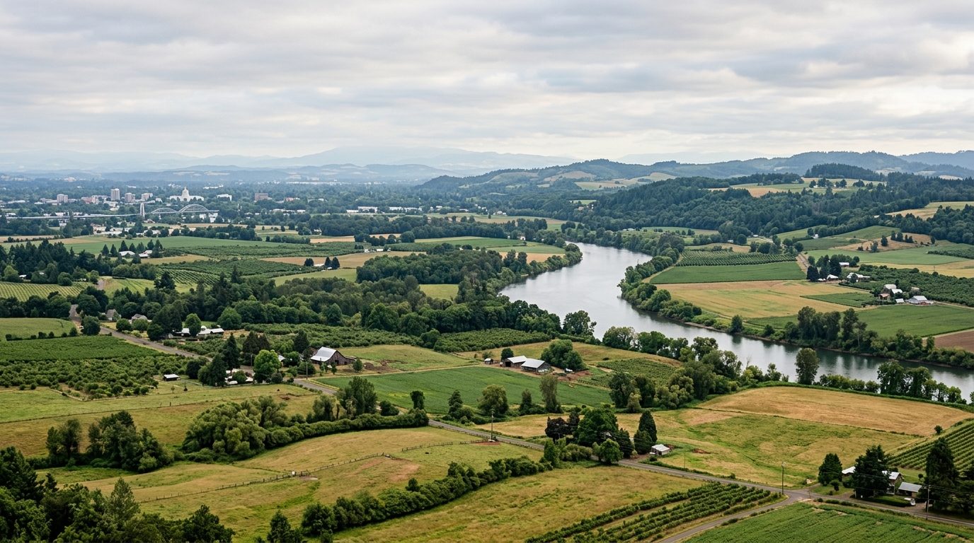
Salem sits in the north-central Willamette Valley, Oregon’s most fertile farming region, straddling the Willamette River with most of the city on the Marion County side and West Salem across the water in Polk County. The valley floor is flat to gently rolling, framed by the Cascades to the east and the Coast Range to the west, and the climate follows a marine west-coast pattern: wet, mild winters and dry, warm summers. Housing stock spans a historic core of early-1900s bungalow and Craftsman homes near downtown, mid-century ranch houses through the older residential grid, and newer subdivisions built from the 1970s onward in South Salem, West Salem, and neighboring Keizer.
Terrain and school assignments drive most of the price variation. South Salem’s hillside neighborhoods and the West Salem hills carry a premium for valley and river views, larger lots, and proximity to parks such as Bush’s Pasture Park, though West Salem’s dependence on just two river crossings tempers what that view premium can command. More affordable housing tends to sit in older, flatter neighborhoods closer to downtown and the industrial corridor, and in outlying, smaller-lot areas of Keizer and unincorporated Marion and Polk counties.
As Oregon’s state capital, Salem’s economy leans heavily on state government employment, spread across numerous agencies headquartered in the city. Salem Health, anchored by Salem Hospital, is the area’s largest private employer, and the Salem-Keizer School District and Marion County government add further public-sector depth. Agriculture remains a defining industry across the surrounding valley, and Spirit Mountain Casino, operated by the Confederated Tribes of Grand Ronde, is a significant regional employer as well.
Property taxes here follow Oregon’s Measure 5 and Measure 50 system, which caps how fast a property’s assessed value can rise separately from its real market value, so two similarly priced homes can carry different tax bills depending on purchase history, and a buyer should always check a listing’s assessed-value trend rather than assume it tracks the sale price. Oregon’s statewide urban growth boundary tightly limits where new subdivisions can be built, channeling growth into infill and periodic boundary expansions rather than open sprawl, which keeps the pace of new construction slower than in many comparably sized metros. Flood risk exists along the Willamette River and tributaries like Mill and Pringle creeks, and buyers near those waterways should check the city’s floodplain maps and local flood history before purchasing. Wildfire smoke from regional fires has also become a more common seasonal concern, even though the urbanized valley floor itself carries lower direct wildfire exposure than the forested Cascade and Coast Range foothills to the east and west.
Cities and Towns in the Salem Metro Area
Notable Communities and Neighborhoods
Salem Real Estate Market FAQ
How is the Salem-area housing market organized geographically?
The Willamette River splits the metro into Salem proper, on the Marion County side, and West Salem in Polk County, connected by a limited number of bridges. Beyond that divide, the market further separates into the older, denser core near downtown and newer suburban growth in South Salem, West Salem, and Keizer.
Which areas tend to carry higher prices, and why?
Hillside neighborhoods in South Salem and West Salem generally command more, reflecting valley and river views, larger lots, and proximity to parks and well-regarded schools. West Salem’s premium is moderated somewhat by its reliance on just two bridges for access to the rest of the metro.
What should buyers verify before purchasing in this market?
Check a property’s assessed value history against Oregon’s Measure 50 rules, since long-held homes can carry much lower tax bills than recently sold comparables nearby. Buyers near the Willamette River or its tributaries should also review the city’s floodplain maps before making an offer.
What is the region’s biggest structural risk for homeowners?
Seasonal flooding along local creeks and the Willamette River is the most direct physical risk, with periodic winter storm events triggering evacuation notices in low-lying areas. Oregon’s urban growth boundary also limits how much new housing supply can be added, which is worth understanding as a structural feature of this market rather than a temporary condition.
Nearby Markets