
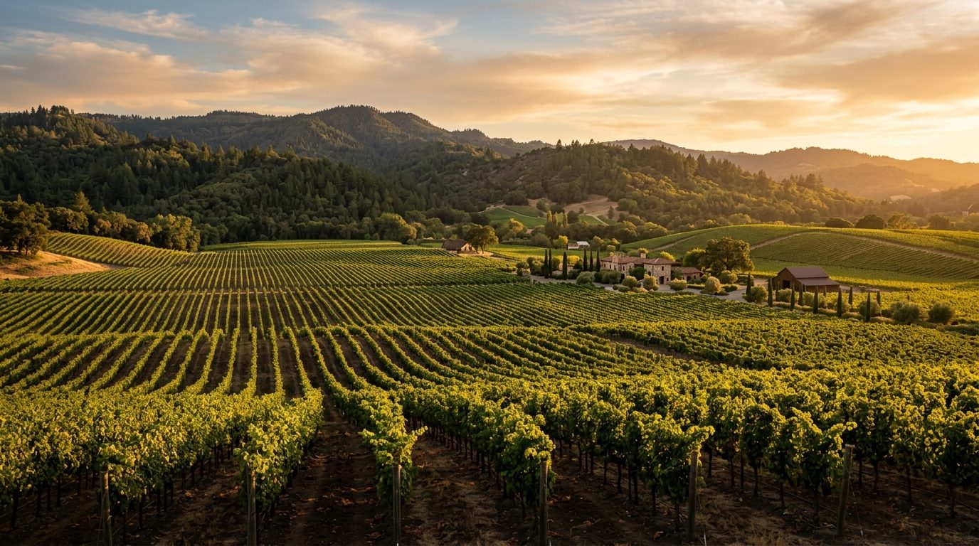
Current real estate market data, news and analysis for the Napa, CA metropolitan area — 132,949 residents across Napa county.
Data as of May 2026. Sources: Redfin Data Center, U.S. Census Bureau.
Latest Napa Real Estate News
Coverage of this market is coming soon. Browse all housing market news.
Napa Real Estate Market Overview
Napa County occupies the northern arm of the San Francisco Bay Area’s wine country, between the Mayacamas Mountains and the Vaca Range, with the Napa River running the length of the valley to San Pablo Bay. The metro centers on the city of Napa, with the smaller towns of American Canyon, Calistoga, St. Helena, and Yountville strung along Highway 29 and the Silverado Trail, and large stretches of unincorporated hillside and valley land in vineyards. Housing stock varies: the city of Napa has a core of early-20th-century bungalows, Craftsman cottages, and Victorian-era homes near its historic downtown, ringed by mid-century ranch tracts and later subdivisions. American Canyon, the county’s youngest, fastest-growing town, is dominated by newer subdivisions and townhomes. St. Helena, Calistoga, and Yountville retain small, walkable historic cores, while the unincorporated valley and hillsides hold large-lot rural properties, vineyard estates, and custom homes.
Higher price tiers cluster around the small-town cores of St. Helena, Yountville, and Calistoga, and along hillside and rural-valley land with vineyard acreage or unobstructed views, where agricultural preserve zoning and limited buildable land constrain supply near well-known wineries and resorts. In the city of Napa, neighborhoods near downtown, the Oxbow riverfront district, and the hillside east side tend to price above outlying flatland tracts, reflecting older housing character and walkability. American Canyon and parts of south and east Napa, closer to the Highway 29 commercial corridor and the logistics zone, sit at the more accessible end of the market, reflecting newer, denser construction and distance from the tourist core.
Napa County’s economy centers on wine: grape growing, winemaking, bottling, and tourism span thousands of acres of vineyard and hundreds of wineries and tasting rooms. Hospitality and food service tied to that visitor economy form a large share of local employment. Public-sector employers matter too, with Napa Valley Unified School District, the County of Napa, and Napa State Hospital, a state psychiatric facility, among the area’s largest. Health care is anchored by Providence Queen of the Valley Medical Center, with Kaiser Permanente also operating locally. American Canyon has become the county’s logistics hub, home to distribution and cold-storage facilities supporting wine bottling and shipping.
Wildfire is the region’s defining risk: much of the county’s hillside and rural terrain, including areas around Calistoga, Angwin, and St. Helena, falls within state-mapped high or very high fire hazard severity zones, and recent wildfires have pushed up insurance costs and, in some cases, prompted non-renewals that push owners toward the state FAIR Plan. Buyers should check a property’s fire zone, defensible-space obligations, and insurability before committing. Seismic risk matters too: the West Napa Fault produced a damaging earthquake in 2014, and older unreinforced buildings downtown remain a retrofit concern. The Napa River has flooded historically, and a long-running federal flood-control project has reshaped floodplain maps and, in places, flood insurance requirements. Much of the valley floor is protected under agricultural preserve and hillside rules that sharply limit new subdivision outside town boundaries. Transit is limited to VINE buses linking Napa’s towns to BART and ferry service in Vallejo, so most residents rely on cars, and Highway 29 sees heavy tourist traffic during harvest. Buyers should verify well and septic systems on rural parcels, zoning limits near vineyard land, and property tax rules tied to purchase price.
Cities and Towns in the Napa Metro Area
Notable Communities and Neighborhoods
Napa Real Estate Market FAQ
How is the Napa, CA housing market organized geographically?
The metro is built around the city of Napa on the valley’s southern end, with the smaller towns of American Canyon, Yountville, St. Helena, and Calistoga strung north along Highway 29 and the Silverado Trail toward the valley’s head. Much of the land in between is unincorporated vineyard country under agricultural preserve zoning, so housing is concentrated in the incorporated towns and their immediate surroundings rather than spread evenly across the county.
Which parts of Napa Valley tend to be pricier, and why?
The small-town cores of St. Helena, Yountville, and Calistoga, along with hillside and rural-valley land carrying vineyard acreage or unobstructed views, sit at the upper end because agricultural preserve rules and mountainous terrain sharply limit how much new housing can be built near well-known wineries and resorts. Within the city of Napa, older neighborhoods close to downtown and the Oxbow riverfront district tend to price above newer subdivisions farther from the core, largely due to walkability and housing character rather than lot size.
What should buyers verify before purchasing property in Napa County?
Beyond standard inspections, buyers should confirm a property’s fire hazard severity zone designation and any defensible-space requirements, check current homeowners insurance availability and cost, and review floodplain status given the Napa River’s flood history and ongoing flood-control work. On rural or hillside parcels, well water, septic system condition, and agricultural or hillside-development zoning limits are also worth confirming with the county before making an offer.
How significant is wildfire and insurance risk in the Napa area?
Wildfire is the region’s most consequential local risk: large portions of the county’s hillsides and rural terrain, including areas around Calistoga, Angwin, and St. Helena, fall within state-mapped high or very high fire hazard severity zones, and the region has experienced major wildfires in recent years. This has pushed up insurance premiums and, in some areas, led insurers to decline renewals, pushing affected owners toward the state’s FAIR Plan as a fallback, so checking current insurability early in the buying process is advisable.
Nearby Markets