
Current real estate market data, news and analysis for the Lexington Park, MD metropolitan area — 211,176 residents across Calvert and St. Mary’s counties.
Sources: U.S. Census Bureau.
Latest Lexington Park Real Estate News
Coverage of this market is coming soon. Browse all housing market news.
Lexington Park Real Estate Market Overview
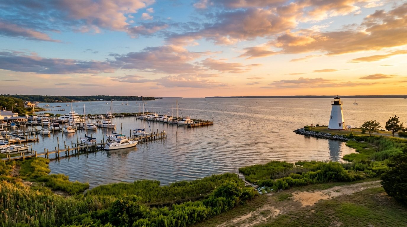
Lexington Park, Maryland spans two adjoining counties on the western shore of the Chesapeake Bay: St. Mary’s County, occupying the peninsula between the Potomac and Patuxent Rivers, and Calvert County, the narrower peninsula across the Patuxent bounded by the Bay to the east. The Governor Thomas Johnson Bridge links the two at Solomons. The landscape is low, green, and water-laced, with tidal creeks, marshland, and farm fields interspersed among wooded lots. Housing stock reflects this rural-coastal character: ranch and split-level homes from the mid-twentieth-century Navy expansion around Lexington Park and California, newer suburban subdivisions and townhomes near Leonardtown and Wildewood, waterfront cottages and cabins along the coves of Solomons, Chesapeake Beach, and North Beach, and larger-lot farmhouses and newer custom construction in the rural interior of both counties.
Waterfront and near-waterfront communities carry the highest price expectations, including Solomons Island, Chesapeake Beach, North Beach, and the coves along the Patuxent and Chesapeake shorelines, where water access, views, and boat docks draw a premium regardless of home age. Northern Calvert County towns such as Dunkirk and Owings also command more, largely because they shorten the commute toward Washington’s outer suburbs. Communities close to NAS Patuxent River, such as California, Wildewood, and parts of Lexington Park, hold value because they minimize commute times for military and contractor personnel. Rural, inland pockets of both counties, along with older sections of Lexington Park itself, tend to be more modest, reflecting distance from the water, longer commutes, and older, smaller housing stock.
The regional economy centers on Naval Air Station Patuxent River, home to Naval Air Systems Command and the Naval Air Warfare Center Aircraft Division, which anchors a dense cluster of aerospace and defense contractors including Lockheed Martin, Northrop Grumman, BAE Systems, Leidos, SAIC, and DynCorp International, among many smaller engineering and technical firms. This concentration makes St. Mary’s County one of the more federally dependent labor markets in the state. Calvert County’s economy is anchored separately by the Calvert Cliffs Nuclear Power Plant, operated by Constellation Energy, and the Cove Point liquefied natural gas terminal, operated for Dominion Energy and Brookfield Asset Management, both major taxpayers and employers. Beyond these anchors, agriculture, commercial fishing and watermen traditions on the Bay, county government, public school systems, MedStar St. Mary’s Hospital, and the College of Southern Maryland round out the employment base.
Tidal flooding is a recurring concern along both shorelines; low-lying roads and yards near the Patuxent, Potomac, and Chesapeake flood during storms and unusually high tides, and the Bay shoreline is retreating over time, which affects insurance costs and building requirements in flood zones and the state’s Critical Area buffer along the water. Public water and sewer service is limited outside incorporated towns and base-adjacent subdivisions, so many rural properties rely on private wells and septic systems that require perc testing and health department certification before building or resale. There is no passenger rail service; commuting relies on two-lane state highways such as MD-4, MD-5, and MD-235, and trips toward Washington or Baltimore take considerably longer than the road distance suggests. Because so much of the local economy tracks federal defense spending and energy-sector contracts, buyers should also weigh how sensitive housing demand is to shifts in base staffing, contract cycles, or plant operations before purchasing.
Cities and Towns in the Lexington Park Metro Area
Notable Communities and Neighborhoods
Lexington Park Real Estate Market FAQ
How is the Lexington Park metro area organized geographically?
The metro covers two adjoining peninsulas on the western shore of the Chesapeake Bay: St. Mary’s County, between the Potomac and Patuxent Rivers, and Calvert County, between the Patuxent River and the Bay. A bridge over the Patuxent connects the two at Solomons, and each county is organized around a mix of small incorporated towns, unincorporated town centers, and rural farmland rather than one central city.
Which areas tend to be pricier, and why?
Waterfront and near-waterfront towns such as Solomons, Chesapeake Beach, and North Beach command more because of water access and views, while northern Calvert communities gain value from a shorter commute toward the Washington suburbs. Areas close to Naval Air Station Patuxent River also hold value due to short commutes for base and contractor employees. Rural, inland areas farther from the water and from major employment centers tend to be more modest.
What should buyers verify locally before purchasing?
Outside of incorporated towns and base-adjacent subdivisions, many properties rely on private wells and septic systems rather than public water and sewer, so buyers should confirm well certification and septic perc test results. Buyers should also check a property’s flood zone designation and whether it falls within the state’s Critical Area shoreline buffer, since both affect what can be built or renovated and how insurance is priced.
What is a distinctive regional risk to understand in this market?
Tidal flooding along the Patuxent, Potomac, and Chesapeake shorelines is a recurring and worsening issue, with low-lying roads and yards affected during storms and unusually high tides as the Bay’s shoreline gradually retreats. This has ongoing implications for flood insurance costs, construction requirements near the water, and long-term maintenance of waterfront property.
Nearby Markets