
Current real estate market data, news and analysis for the Dothan, AL metropolitan area — 156,266 residents across Geneva, Henry and Houston counties.
Data as of May 2026. Sources: Redfin Data Center, U.S. Census Bureau.
Latest Dothan Real Estate News
Coverage of this market is coming soon. Browse all housing market news.
Dothan Real Estate Market Overview
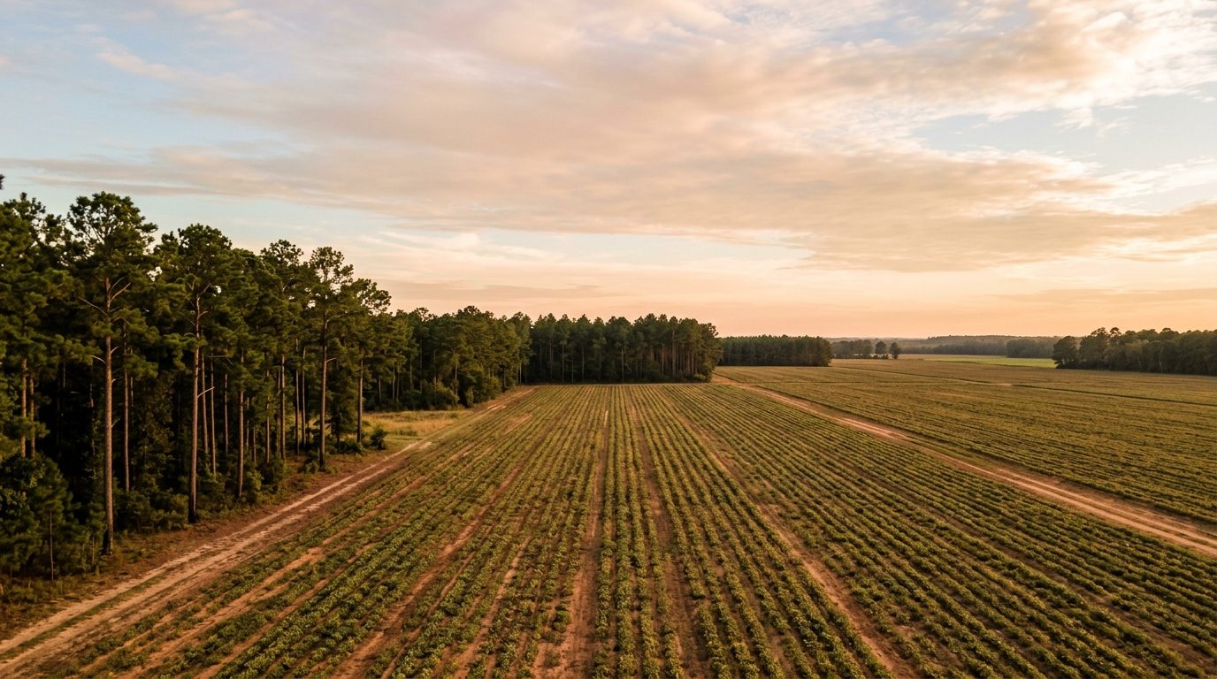
Dothan sits in the Wiregrass, the flat to gently rolling coastal plain filling the southeastern corner of Alabama near the Georgia and Florida lines. Longleaf pine woods, peanut and cotton fields, and pecan groves fill the land between towns, and the terrain lacks the ridges and river bluffs found farther north in the state. Dothan is the metro’s hub, ringed by Ross Clark Circle, a loop highway growth has spread around over time. Smaller towns such as Headland, Abbeville, Slocomb, and Samson sit along the two-lane highways radiating outward, each centered on a small downtown or courthouse square. Housing stock mirrors that layered growth: brick bungalows and cottages near downtown Dothan and older county seats, postwar brick ranch houses filling the middle rings, and vinyl- and brick-sided traditional houses on newer subdivision lots at the city’s edge and across the surrounding counties.
Within Dothan, the west side around Flowers Hospital and the Highland Oaks golf courses holds many of the newer subdivisions, including The Orchard and Charleston Mills, where houses sit on larger lots with pools and walking trails as shared amenities. In-town neighborhoods closer to downtown, such as the Garden District and the streets around the Dothan Country Club, draw interest for mature tree canopy, older architecture, and walkable access to downtown shops and restaurants, even though the homes themselves are older. Gated communities like Jamestown offer a more controlled, amenity-driven option inside city limits. Farther from Dothan’s job centers and hospitals, the smaller Wiregrass towns and unincorporated stretches of the surrounding counties offer rural acreage, older farmhouses, and manufactured homes; the tradeoff for lower land cost is a longer drive to healthcare, shopping, and steady employment.
The regional economy still leans on agriculture; the surrounding counties sit inside one of the nation’s most concentrated peanut-growing areas, and the crop supports shelling, processing, and warehouse operations alongside cotton, cattle, and timber. Healthcare is the other pillar, anchored by Southeast Health and Flowers Hospital in Dothan, both large employers drawing patients from across the tri-state corner. Aviation and manufacturing add depth: FlightSafety International and Commercial Jet run training and maintenance operations at Dothan’s airport, Michelin operates a tire plant nearby, and poultry processors including Wayne Farms and Perdue employ many area residents. Southern Nuclear’s Farley plant, on the Chattahoochee River in Houston County, is another major regional employer. Troy University’s Dothan campus and Wallace Community College support workforce training, and the city and county school systems and local government round out the largest employers.
Buyers should weigh a few local realities before purchasing. Property tax rates and exemptions differ between incorporated Dothan and the surrounding unincorporated county, so it is worth confirming the applicable rate before budgeting. The Wiregrass sits in an active severe-weather corridor: tornadoes and damaging thunderstorm winds occur here, and remnants of Gulf tropical systems can bring heavy rain and localized flooding well inland, so checking flood zone status near any creek or low-lying lot is worthwhile. Public transit is limited to a small municipal bus system, so most residents rely on cars, with commutes built around Ross Clark Circle. Land-use regulation is uneven: property inside Dothan’s city limits falls under municipal zoning and building codes, while much of the surrounding county is unzoned, so nearby land use can change with little notice outside city boundaries.
Cities and Towns in the Dothan Metro Area
Notable Communities and Neighborhoods
Dothan Real Estate Market FAQ
What is the Wiregrass region and why does Dothan sit at its center?
The Wiregrass is the coastal plain corner of southeastern Alabama that also reaches into neighboring Georgia and Florida, named for the native wiregrass that once grew under longleaf pine forest. Dothan grew into the trade and transportation center for the surrounding farm counties, and it remains the commercial hub that smaller Wiregrass towns orbit for shopping, healthcare, and services.
How does Ross Clark Circle shape getting around Dothan?
Ross Clark Circle is a loop highway encircling the core of Dothan, carrying several U.S. routes at once and serving as the main commercial and commuting corridor. Neighborhoods and shopping areas are commonly described by which side of the Circle they sit on, and most cross-town trips involve using part of the loop.
Is Dothan’s economy tied to agriculture?
Yes. The counties around Dothan sit within a nationally significant peanut-growing region, and farming, processing, and warehousing tied to peanuts, cotton, cattle, and timber remain a foundational part of the local economy alongside healthcare, aviation, and manufacturing employers based in and around the city.
What should a buyer check about zoning before purchasing property outside Dothan’s city limits?
Much of the county surrounding Dothan is unincorporated and unzoned, meaning land uses that would be restricted inside the city, such as a neighboring agricultural or industrial use, can appear near a residential property with little advance notice. Confirming zoning status, any applicable county land-use rules, and the character of adjoining parcels before buying is worthwhile.
Nearby Markets